|
|
Post by bmoses on Sept 15, 2009 23:13:04 GMT -5
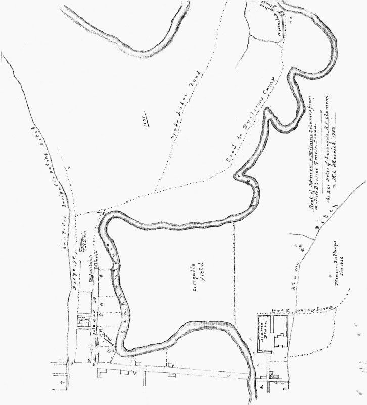
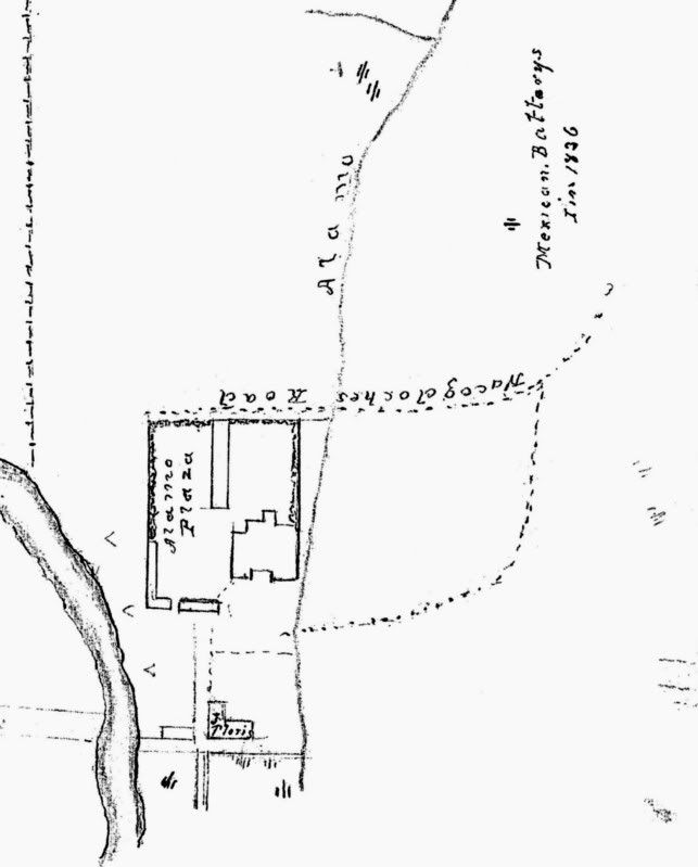
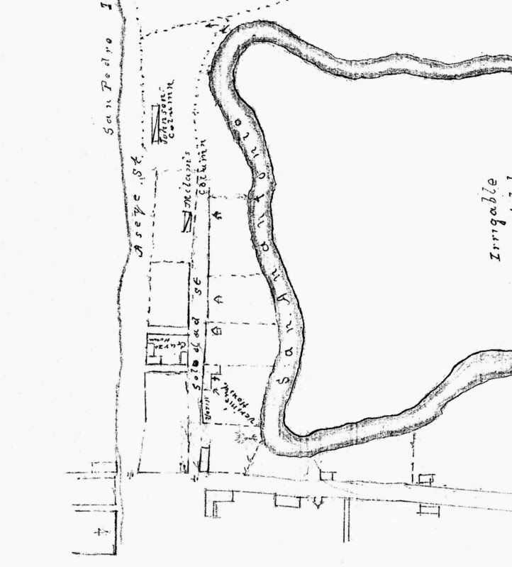
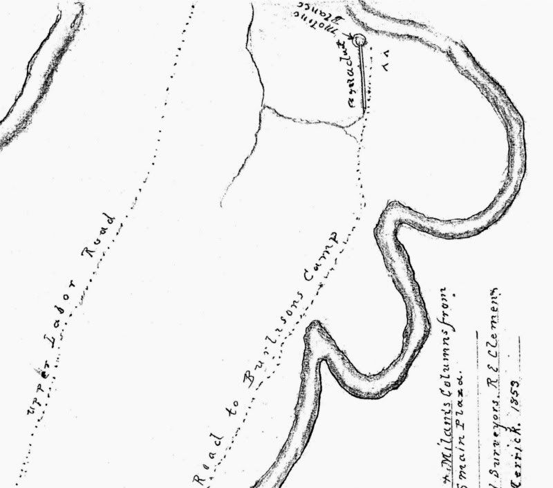
 1853 – This unique map which includes details not seen in other depictions, shows the route of Johnson’s and Milam’s columns from the Molino Blanco to Main Plaza during the Siege of Béxar. Based on notes from surveyors R.E. Clemens and M.L. Merrick. 1853 – This unique map which includes details not seen in other depictions, shows the route of Johnson’s and Milam’s columns from the Molino Blanco to Main Plaza during the Siege of Béxar. Based on notes from surveyors R.E. Clemens and M.L. Merrick. Detail of the Clemens-Merrick map showing the area around the Alamo. Detail of the Clemens-Merrick map showing the area around the Alamo. Detail of the Clemens-Merrick map showing the area around Main Plaza. Detail of the Clemens-Merrick map showing the area around Main Plaza. Detail of the Clemens-Merrick map showing the area near the Molino Blanco. Detail of the Clemens-Merrick map showing the area near the Molino Blanco. |
|